Geophysical Survey
La Oceania provides comprehensive Geophysical Survey solutions to support offshore construction, energy developments, and marine infrastructure projects. Our team utilises state-of-the-art sensors and experienced personnel to deliver accurate, interpretable results that reduce operational risk.
- Multibeam Bathymetry.
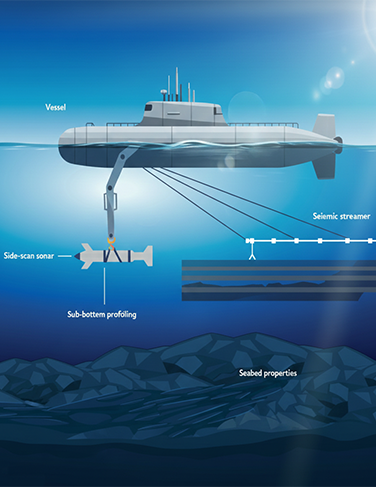
- Side Scan Sonar Survey.
- JSub-Bottom Profiling.
- Magnetometer Survey for debris, UXO, or pipeline detection.
- Pipeline & Cable Route Surveys.
- Seabed Hazard Mapping.
- As-Built and Pre-Lay Surveys.
- Deliverables.
- Detailed bathymetric charts.
- Seabed feature maps.
- Geophysical hazard identification.
- Data for route engineering and construction planning.